
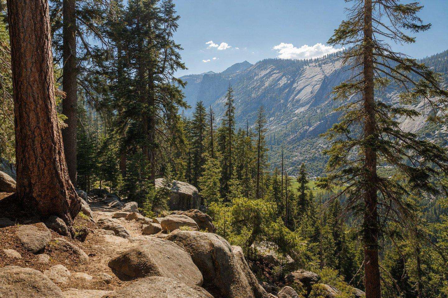
The Mountains
Hiking Near Bakersfield: Kern River Valley & Sequoia Forest Trails
Real trail options for hiking near Bakersfield, from flat riverside preserves in city limits to forested Sequoia National Forest routes an hour up the canyon.
Updated September 2026
Hiking near Bakersfield splits into two rough tiers: easy, valley-edge trails within or near city limits, and a wider range of forested trails an hour or more up Highway 178, once the terrain climbs into Sequoia National Forest around Lake Isabella and Kernville.
Hiking near Bakersfield: close to town
For a short hike without leaving the valley, Panorama Bluffs Park, off Panorama Drive, offers an easy 2-mile loop with views over the Kern River and downtown Bakersfield. Hart Memorial Park, on the city’s east side, has a network of canyon and hilltop trails shared with mountain bikers, ranging from easy to moderate. Just next to it, the Panorama Vista Preserve protects roughly 940 acres along the Kern River and is a genuine wildlife-viewing spot, home to the endangered Bakersfield cactus among other native species (see our Panorama Vista Preserve guide for its restoration history and access points). Further southwest, the Wind Wolves Preserve, run by the Wildlands Conservancy, covers about 93,000 acres of foothill and canyon terrain; its San Emigdio Canyon Trail is a roughly 7-mile route with creek access, and free primitive camping is available for overnight visitors.
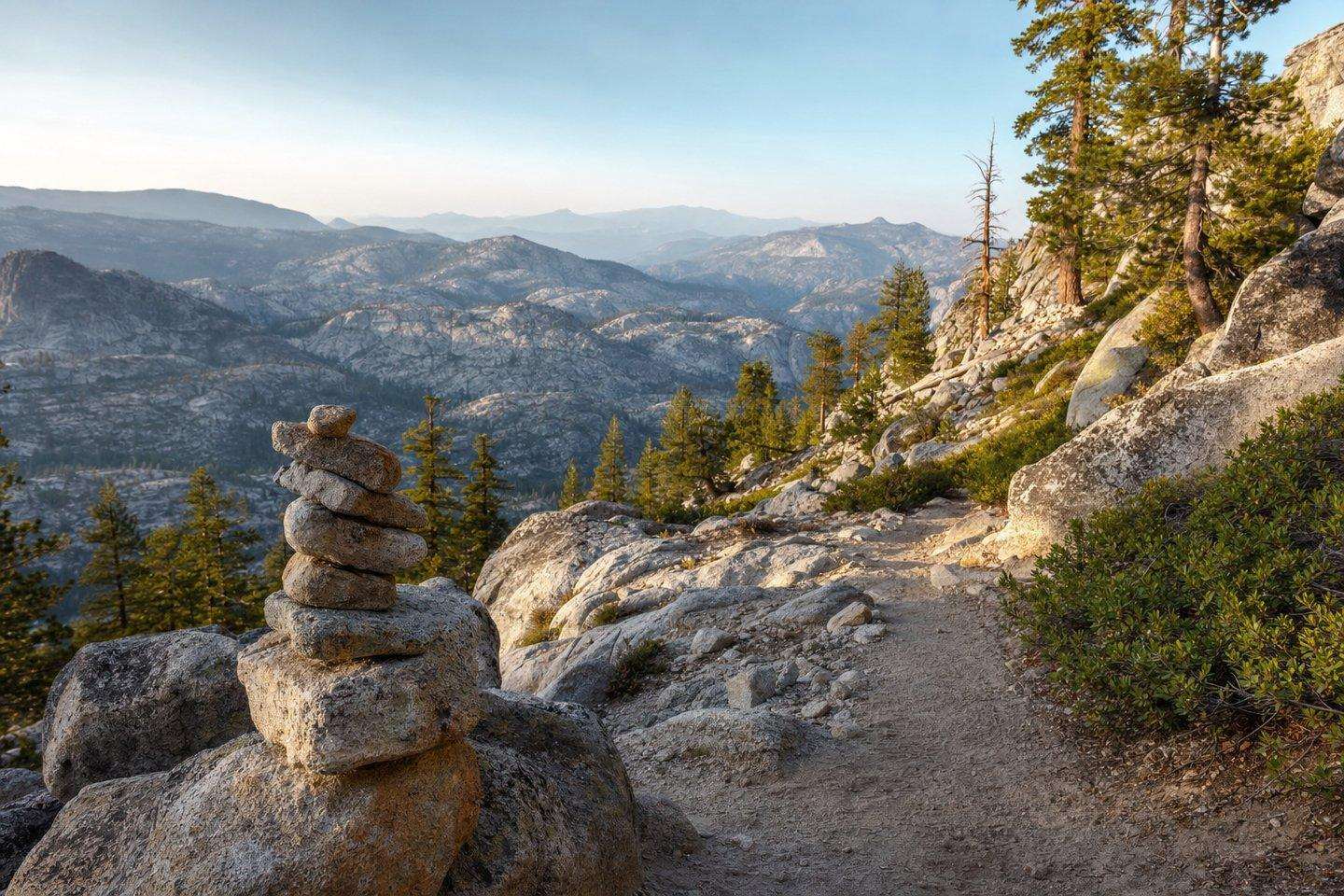
Kern River Canyon and the Kern River Valley
Heading up Highway 178 toward Lake Isabella, the Kern River Trail is a beginner-friendly out-and-back of roughly 5 to 6 miles that follows the river through the canyon, with wildflowers typically showing in spring. The longer Mill Creek Trail, off Kern Canyon Road, runs through creek crossings and partial shade and can be hiked in full or in shorter sections depending on time and ability. Closer to Lake Isabella, near Wofford Heights, the Unal Trail is a moderate 3.5-mile loop that climbs through shaded cedar and pine forest to an overlook of the surrounding Sequoia National Forest, where a small time capsule buried at the summit is a local landmark on the route.
Higher up: Sequoia National Forest trails around Lake Isabella
The forest above Lake Isabella has an extensive trail network maintained by the Kern River Ranger District. Sunday Peak is a short, family-friendly 1.7-mile hike to summit views. The Portuguese Trail is a 2.1-mile ridge loop with views across the valley and toward the Sierra, while the longer Remington Ridge Trail, at about 7.4 miles with a steep climb, rewards hikers with views down over Isabella Lake. Near Springville, Dome Rock is a well-known short hike to an exposed granite slab with sweeping panoramic views, popular as a sunset spot. For current trail conditions, closures, or seasonal access questions, the Kern River Ranger District can be reached at (760) 376-3781.
A longer drive: Trail of 100 Giants
For hikers willing to make a longer day of it, the Trail of 100 Giants sits further north in the Giant Sequoia National Monument portion of Sequoia National Forest, near Johnsondale, roughly two hours or more from Bakersfield via Kernville. It’s a flat, easy 1.3-mile interpretive boardwalk loop through a genuine old-growth sequoia grove, including a roughly 2,000-year-old tree, and makes a good add-on for a full day trip that also includes Lake Isabella or Kernville.
Practical notes
Elevation makes a real difference in season here: trails close to Bakersfield are hikeable nearly year-round, while the higher Sequoia National Forest routes can hold snow into late spring and are best hiked from late spring through fall. Wildflower season, where it applies, generally runs mid-March through April on lower canyon trails. Anyone hiking near Bakersfield who also wants time on the river itself should read our Kern River recreation guide for water-safety context, and check road conditions before the drive up Highway 178.
Frequently Asked Questions
Are there hiking trails close to Bakersfield?
Yes, Panorama Bluffs Park offers an easy 2-mile loop with river and downtown views, Hart Memorial Park has canyon and hilltop trails, and Panorama Vista Preserve protects about 940 acres along the Kern River with real wildlife viewing.
What's the best hike in Sequoia National Forest near Lake Isabella?
The forest above Lake Isabella has an extensive trail network via the Kern River Ranger District: Sunday Peak (1.7 miles, family-friendly), Portuguese Trail (2.1-mile ridge loop), and Remington Ridge Trail (7.4 miles, steep, with views over Isabella Lake) are the named options.
Where is the Trail of 100 Giants?
Further north in the Giant Sequoia National Monument portion of Sequoia National Forest, near Johnsondale, roughly two hours from Bakersfield via Kernville. It's a flat, easy 1.3-mile boardwalk through an old-growth sequoia grove.
When is the best season for hiking near Bakersfield?
Trails close to Bakersfield are hikeable nearly year-round. Higher Sequoia National Forest routes can hold snow into late spring and are best from late spring through fall. Wildflower season on lower canyon trails generally runs mid-March through April.
Is there a hiking trail directly along the Kern River?
Yes, the Kern River Trail is a beginner-friendly out-and-back of roughly 5 to 6 miles that follows the river through the canyon, heading up Highway 178 toward Lake Isabella.