
Countywide
A California Tourism Guide to Kern County: Practical Trip Planning
Kern County's geography splits into three genuinely different regions with three different climates: here's how to plan around that before picking dates.
Updated September 2026
Most California tourism guide advice assumes a destination is roughly one kind of place. Kern County isn’t: it’s three, and the difference matters more here than in most California counties because of how far the terrain swings between them.
Three regions, one county
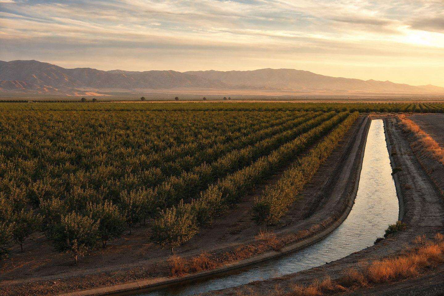
At 8,163 square miles, Kern is the third-largest county in California by area, close in size to the state of New Hampshire. Its elevation ranges from 206 feet to 8,755 feet, and that range corresponds to three distinct zones: the San Joaquin Valley floor in the west, where Bakersfield sits; the southern Sierra Nevada, rising toward Sequoia National Forest and the Kern River Valley around Lake Isabella and Kernville; and the Mojave Desert to the east, past the Tehachapi Mountains, around Red Rock Canyon and towns like Tehachapi, Mojave, and Ridgecrest. A trip built around one region will look and feel completely different from a trip built around another, so it’s worth deciding which region (or which combination) a visit is actually for before booking anything.
When to visit: climate varies by region
Any California tourism guide to Kern County has to start with climate, because the county’s climate is really three climates: “best time to visit Kern County” doesn’t have one answer.
The valley around Bakersfield gets genuinely hot, dry summers and mild winters, though winter also brings periods of trapped particulate haze and fog that reduce visibility, a factor worth checking if a visit centers on drives through the valley.
The mountains around Lake Isabella and Sequoia National Forest run cooler year-round, with winter snow at higher elevations that can bring chain-control requirements on mountain roads. Whitewater rafting and hiking are generally best from late spring through fall, once snowmelt has filled the river and passes have cleared.
The desert around Red Rock Canyon and Tehachapi swings hardest of all: brutally hot summer days that make hiking or camping impractical, against genuinely cold desert nights, with fall through spring being the more comfortable window for outdoor time there. Tehachapi itself, sitting in a mountain pass between the valley and the desert, gets a milder, four-season climate of its own, with strong winds year-round.
Getting around: this is a driving destination
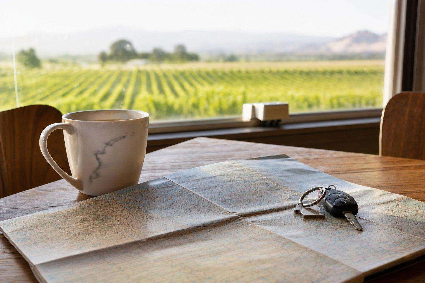
There’s no meaningful public transit connecting the county’s regions: a Kern County trip is a driving trip, full stop. The core distances from Bakersfield are: about 42 miles to Kernville and Lake Isabella via Highway 178 through Kern River Canyon; about 35 miles to Tehachapi via Highway 58 over Tehachapi Pass; and about 80 miles to Red Rock Canyon State Park via Highway 14. All three routes involve real mountain or canyon driving rather than open highway: Highway 178 in particular has a history of rockslide closures, and Highway 58 is subject to winter storms and high-wind restrictions given its wind-farm setting. Checking current road conditions before setting out is genuinely useful advice here, not boilerplate.
A California tourism guide to putting together an itinerary
This California tourism guide’s last piece of practical advice: because the three regions don’t overlap much in what they offer, most visitors get more out of picking one region per day (or per trip) than trying to loop through all three. Our attractions overview breaks down what each region offers, and our day trips guide lays out specific routes and drive times from Bakersfield, both worth reading before locking in dates, since the right season for a mountain-focused trip and a desert-focused trip aren’t the same. It’s also worth checking our event calendar: timing a trip around a real recurring event like the Kern County Fair or Whiskey Flat Days can shape which dates make sense.
Frequently Asked Questions
How big is Kern County?
8,163 square miles, the third-largest county in California by area, with elevation ranging from 206 feet to 8,755 feet across three genuinely different climate zones.
What are the three regions of Kern County?
The San Joaquin Valley floor in the west (Bakersfield), the southern Sierra Nevada rising toward Sequoia National Forest and the Kern River Valley, and the Mojave Desert to the east past the Tehachapi Mountains.
Do I need a car to visit Kern County?
Yes, there's no meaningful public transit connecting the regions. This is a driving destination, full stop.
When is the best time to visit each region?
The valley has hot, dry summers and mild winters; the mountains run cooler with winter snow at elevation, best for rafting/hiking from late spring through fall; the desert swings hardest: hot summer days, cold nights, with fall through spring the more comfortable window.
How far apart are the three regions?
From Bakersfield: about 42 miles to Kernville/Lake Isabella via Highway 178, about 35 miles to Tehachapi via Highway 58, and about 80 miles to Red Rock Canyon via Highway 14, all real mountain or canyon driving, not open highway.