
The Mountains
Kern River Activities: Rafting, Fishing, and the River Itself
The Kern River is the throughline for outdoor recreation in the Kern River Valley: real whitewater rafting, real trout fishing, and a real safety record.
Updated September 2026
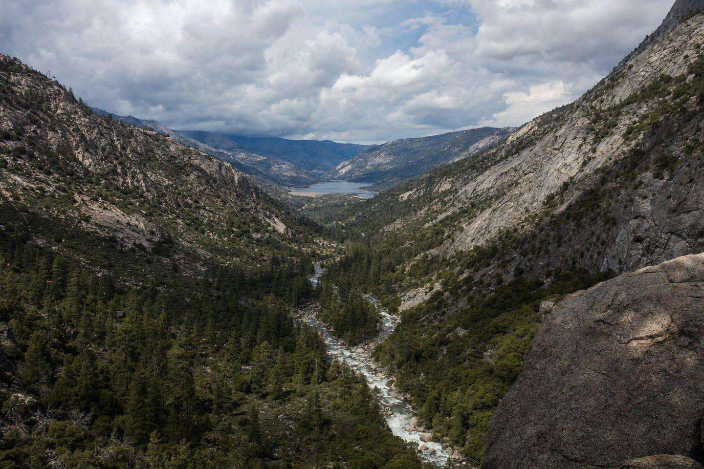
Most Kern River activities in the Kern River Valley connect back to one thing: the river itself. It runs about 165 miles from its source near Mount Whitney in Sequoia National Park, down through the Kern River Canyon, into Lake Isabella, and on toward Bakersfield. Along the way it supports whitewater rafting, trout fishing, and river-corridor hiking that together make up the bulk of the region’s tourism economy.
Kern River activities: whitewater rafting
The Kern splits into three commonly run sections. The Upper Kern runs through wilderness canyon above Lake Isabella, the Forks of the Kern is a more remote, multi-day stretch favored by experienced rafters, and the Lower Kern, below Isabella Dam, is the most commercially run section, dropping about 2,000 feet between the dam and Bakersfield and delivering the whitewater most first-time rafters actually experience. Several outfitters run guided trips out of Kernville, including Kern River Outfitters (operating on the river since 1980), Sierra South (which typically runs trips from mid-March through the end of November), Momentum River Expeditions, Whitewater Voyages, and River’s End Rafting. Season and water levels depend on Sierra snowmelt, so it’s worth confirming current conditions and trip availability directly with an outfitter before planning a visit around a specific date.
Fishing
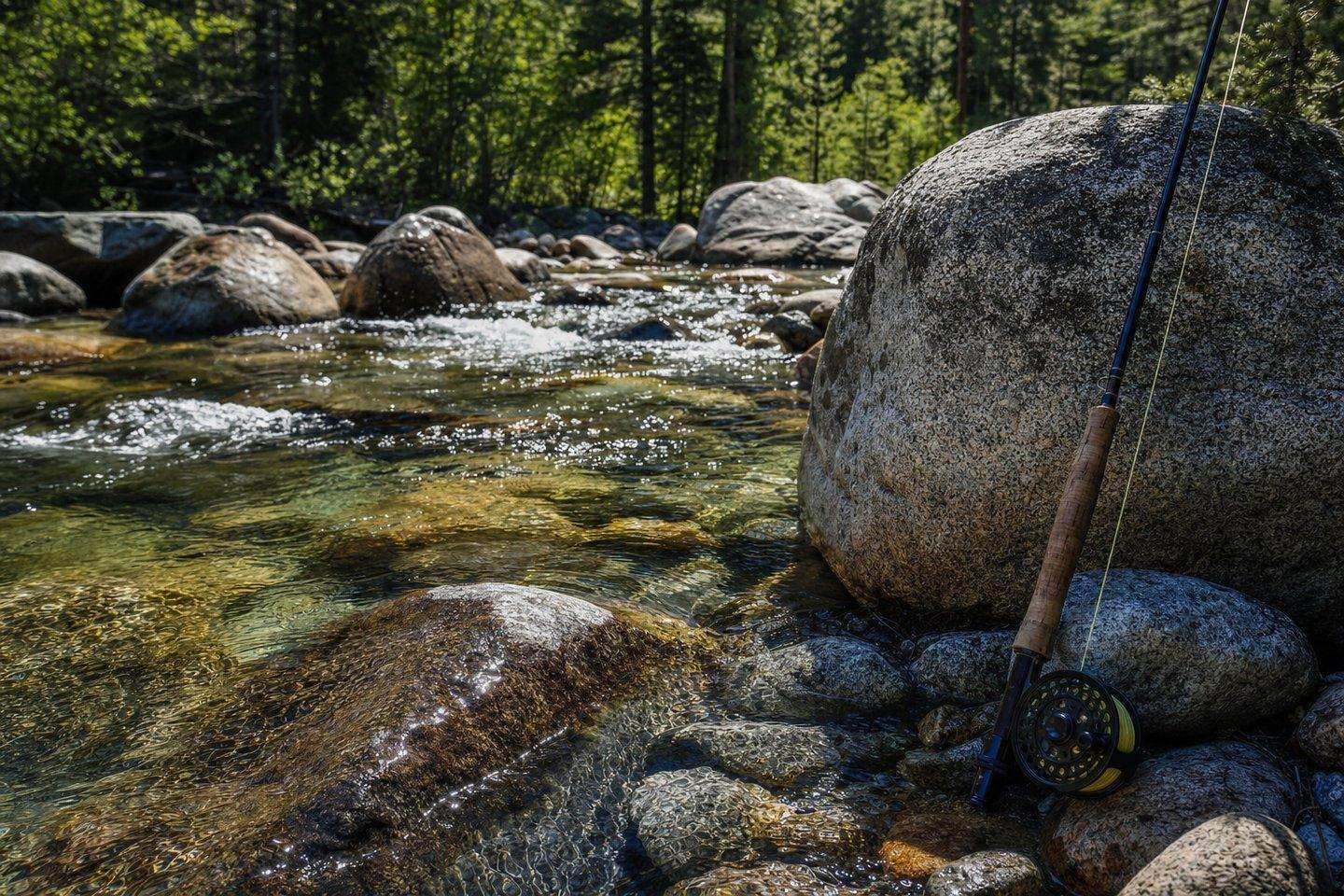
Fishing is one of the region’s core Kern River activities: the watershed supports several real, distinct trout populations, including California golden trout, Little Kern golden trout, and Kern River rainbow trout, drawing fly fishermen to both the river itself and Lake Isabella. A California fishing license is required, and regulations vary by stretch of river, so checking current California Department of Fish and Wildlife rules for the specific section being fished is worth doing before heading out.
Safety on the river
It’s worth saying plainly: the Kern River has a genuine, well-documented safety record problem, not just a cautious reputation. A memorial sign along the river tracks drownings dating back to 1968, with the toll into the hundreds: enough that the river carries the nickname “Killer Kern” locally, and enough that Merle Haggard wrote a song about it (“Kern River”) referencing a real death on the river. Most incidents happen away from guided rafting trips, typically among swimmers who underestimate the current in sections that look calmer than they are. Anyone spending time on the river outside a guided trip should treat the current seriously even where the water looks slow.
Hiking along the river corridor
The river canyon and the valley around Lake Isabella also carry a full network of hiking trails, from short, flat river-access walks to longer forest routes into Sequoia National Forest. That’s covered in full in our dedicated hiking guide rather than duplicated here, since the trail options are extensive enough to warrant their own page.
Lake Isabella recreation
Beyond the river itself, Lake Isabella (the reservoir created by Isabella Dam in 1953) supports boating, water skiing, windsurfing, kayaking, and birding alongside its fishing (see our Lake Isabella boating guide for marinas, permits, and where different watersports happen). The dam underwent a major, multi-year safety remediation project addressing seismic and seepage concerns, with construction running from 2018 to 2022; because reservoir levels can vary with both that history and normal seasonal water management, it’s worth checking current lake levels before planning a boating-specific trip, particularly for boat-ramp access.
Planning around the river
Because so much of the region’s Kern River activities depend on water levels and season, a trip benefits from checking conditions close to the travel date rather than assuming a fixed season: rafting outfitters, fishing regulations, and lake levels can all shift year to year with snowpack. The valley’s natural hot springs are a real, if genuinely unpredictable, part of that same picture. See our Kern River Valley hot springs guide before planning a trip specifically around one, since access status has changed more than once in recent years. For the drive up, Highway 178 through Kern River Canyon has its own conditions worth checking; see our road conditions guide.
Frequently Asked Questions
What outdoor activities center on the Kern River?
Whitewater rafting (Upper Kern, Lower Kern, and the expert-only Forks of the Kern), trout fishing, and river-corridor hiking, together the bulk of the Kern River Valley's tourism economy.
How long is the Kern River?
About 165 miles from its source near Mount Whitney in Sequoia National Park, through Kern River Canyon, into Lake Isabella, and on toward Bakersfield.
Which outfitters run Kern River rafting trips?
Several operate out of Kernville, including Kern River Outfitters (since 1980), Sierra South (mid-March through late November), Momentum River Expeditions, Whitewater Voyages, and River's End Rafting.
Is the Kern River dangerous?
Yes, it carries a real, documented reputation, with warning signs in Kern Canyon and a long history of fatalities, mostly among unguided swimmers and waders. A real memorial tracks deaths since 1968.
What fish are in the Kern River?
The Kern River watershed supports California golden trout, Little Kern golden trout, and Kern River rainbow trout, a subspecies specific to this river system.