
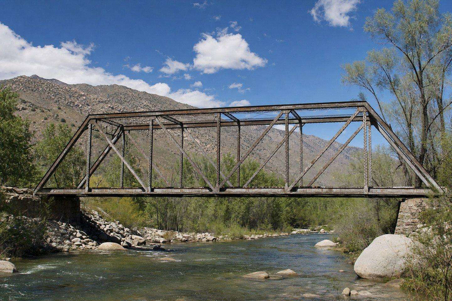
Countywide
Kern County Road Closures: What to Check Before You Drive
Kern County spans valley, mountain, and desert driving with real closure risk. Here's where roads actually get affected and where to check conditions.
Updated September 2026
Kern County road closures are a real, recurring travel concern because the county stretches from Central Valley farmland up through Sierra Nevada mountain passes and down into the Mojave Desert, a single road trip across the county can cross three very different kinds of driving risk in one day. Road conditions here are genuinely worth checking before you go: not just for weather, but for the terrain itself.
Where Kern County road closures actually happen
Among Kern County road closures, Highway 178 through the Kern River Canyon (connecting Bakersfield to Lake Isabella and the mountain communities) is the one most likely to disrupt a trip. It runs along a narrow canyon carved by the river and has a real history of rockslide and boulder closures, including a multi-week closure in 2023, because the road is cut directly into the canyon wall. If you’re heading up to Kernville or Lake Isabella from Bakersfield, this is the route most likely to affect your trip.
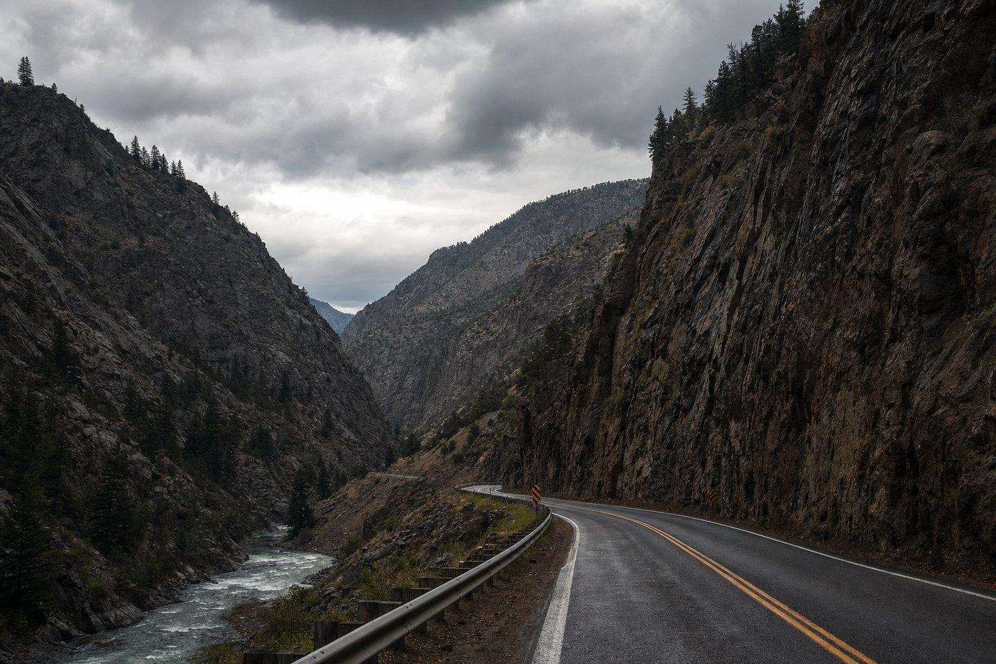
State Route 58 over Tehachapi Pass, the main route between Bakersfield and the Mojave Desert towns (Tehachapi, Mojave, California City), climbs a genuine mountain pass and is subject to winter storm closures, high-wind restrictions (this is wind-farm country for a reason), and periodic flooding on the desert side near Cameron Canyon.
Desert roads around Ridgecrest, Randsburg, and California City are more exposed to flash flooding during summer monsoon storms than most visitors expect from a desert. Washes that are bone-dry most of the year can flood fast during a thunderstorm.
Mountain roads above Lake Isabella and Kernville can see winter snow and chain-control requirements, particularly at higher elevations toward Sequoia National Forest.
When a storm actually closes these roads
The scale of the risk isn’t abstract. In August 2023, the remnants of Hurricane Hilary moved through Southern California as a tropical storm and dropped record rainfall across the Sierra Nevada and the Kern River watershed. The Kern River saw flooding not seen in more than 50 years, and the storm forced evacuation orders in Kernville. Highway 155 washed out west of Wofford Heights toward Alta Sierra, and Sierra Way, a back road into Kernville, was washed out as well. California’s governor declared a state of emergency for Kern County along with several other Southern California counties as the storm moved through. It’s the kind of event that shows why checking conditions before a mountain or desert drive here is worth the extra few minutes: a normal-looking forecast for Bakersfield can mask a genuinely dangerous situation forming in the canyons and washes above it.
Where to check current, live conditions
Kern County is split between two Caltrans districts: most of the county (including Bakersfield and Highway 178) falls under Caltrans District 6, while the eastern desert (Highway 58 near Tehachapi and Mojave) falls under Caltrans District 9. For real-time status on either:
- Caltrans QuickMap (quickmap.dot.ca.gov): live statewide highway conditions, closures, and chain control, searchable by route number.
- Caltrans Highway Information Line: 1-800-427-7623 (automated, statewide).
- Kern County Public Works (kernpublicworks.com): county (non-state-highway) road status and closure subscriptions, useful for the smaller roads a Caltrans lookup won’t cover.
Practical advice for the drive
To stay ahead of Kern County road closures, if your trip involves Highway 178 through Kern Canyon or Highway 58 over Tehachapi Pass, check QuickMap the morning you leave. Both roads are real mountain/canyon routes, not open highway, and conditions can change faster than a general weather forecast would suggest. In winter, carry chains if you’re heading toward the higher elevations around Lake Isabella or Sequoia National Forest, even if Bakersfield itself is clear.
Cell service is another factor worth planning around. Coverage gets unreliable once you’re deep into the Kern River Canyon on Highway 178 or out on the open desert stretches of Highway 58 and the roads around Randsburg and California City, so a phone alone isn’t a good way to check conditions once you’re already on the road. Fueling up before you leave Bakersfield, telling someone your planned route, and pulling up QuickMap before you lose signal are simple habits that matter more on these routes than on a typical valley drive. In summer, the desert stretches add their own consideration: carry extra water and treat a breakdown away from services as a real possibility to plan for, not a remote one, since the heat out past Mojave and Randsburg is genuinely severe for long stretches of the road.
Frequently Asked Questions
What's the most likely road to close in Kern County?
Highway 178 through the Kern River Canyon, connecting Bakersfield to Lake Isabella, has a real history of rockslide and boulder closures (including a multi-week closure in 2023) because the road is cut directly into the canyon wall.
Where can I check live Kern County road conditions?
Caltrans QuickMap (quickmap.dot.ca.gov) gives real-time statewide highway conditions searchable by route number. The Caltrans Highway Information Line is 1-800-427-7623. For county (non-state-highway) roads, Kern County Public Works maintains its own road-status page.
Does Kern County need chains in winter?
The higher elevations toward Lake Isabella and Sequoia National Forest can require chains in winter storms, even when Bakersfield itself is clear. Highway 58 over Tehachapi Pass is also subject to winter storm closures and high-wind restrictions given the wind-farm terrain it passes through.
Which Caltrans district covers Kern County?
It's split: most of the county, including Bakersfield and Highway 178, falls under Caltrans District 6, while the eastern desert (Highway 58 near Tehachapi and Mojave) falls under District 9.
Can the desert roads flood?
Yes, desert roads around Ridgecrest, Randsburg, and California City are more exposed to flash flooding during summer monsoon storms than most visitors expect. Washes that are dry most of the year can flood fast during a thunderstorm.