Valley floor to Sierra crest
The Kern County Travel Guide:
three Californias, one county line.
Farm towns on the San Joaquin Valley floor, granite canyons and whitewater in the southern Sierra Nevada, open Mojave past the pass. This Kern County travel guide is independent — this is how to drive between all three.
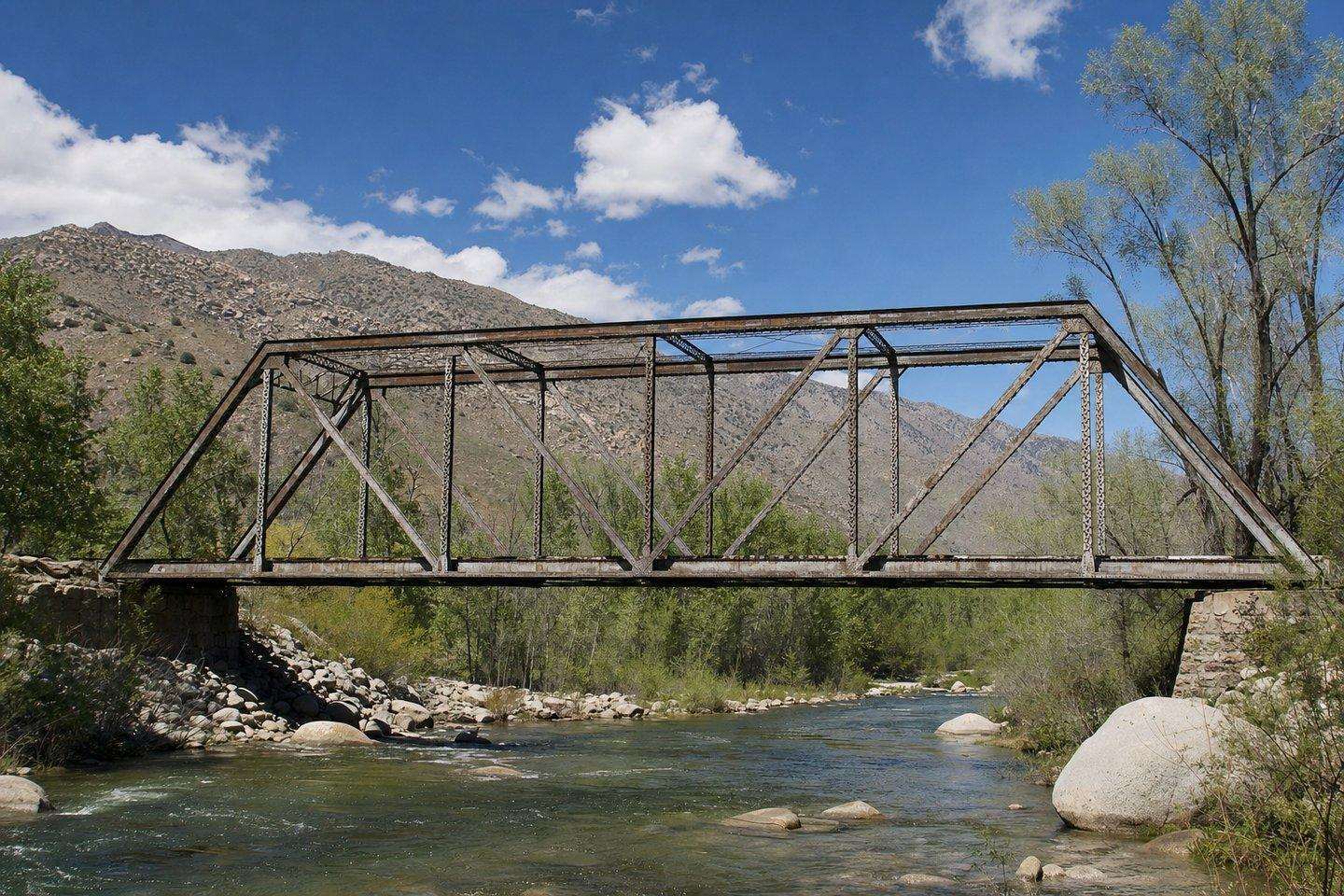
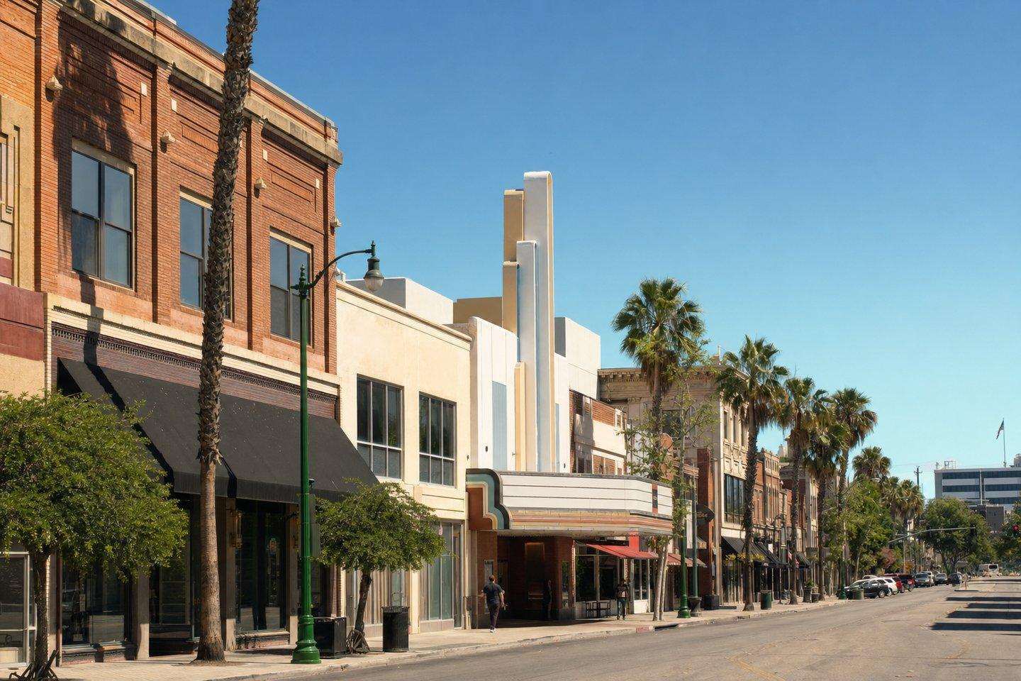
Start with the three regionsAbove — a steel truss bridge over the Kern River, and the brick-front blocks of downtown Bakersfield.
Kern County Travel Guide by Region
Pick where you're headed first.
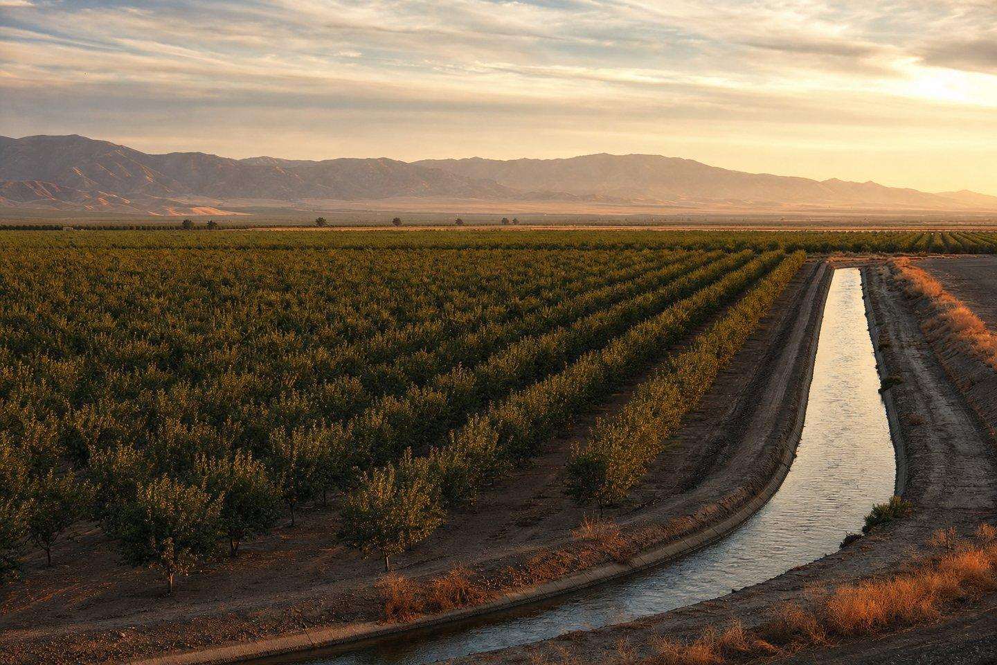
Bakersfield & farm country
Historic downtown, Basque restaurants, and the birthplace of the Bakersfield Sound.
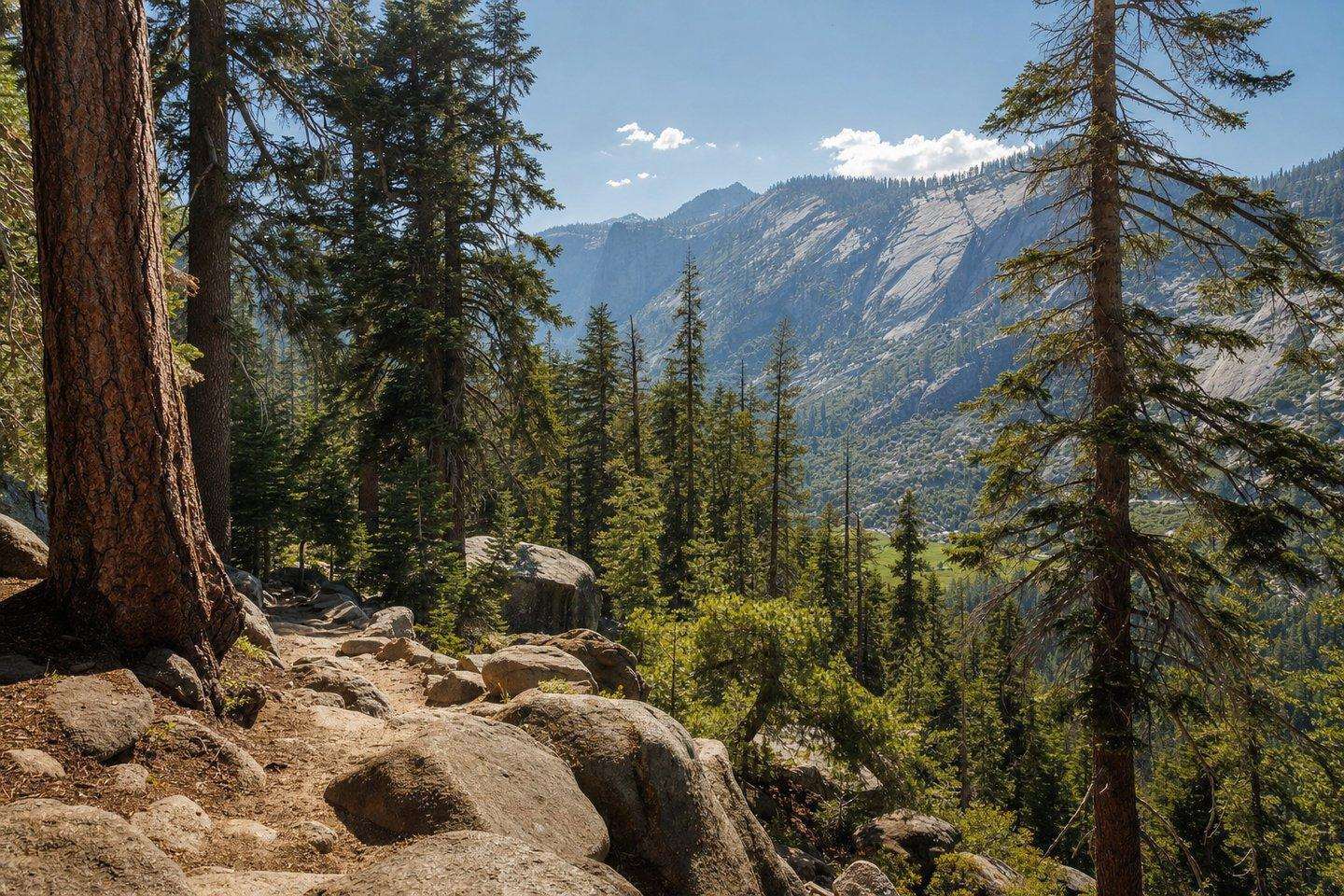
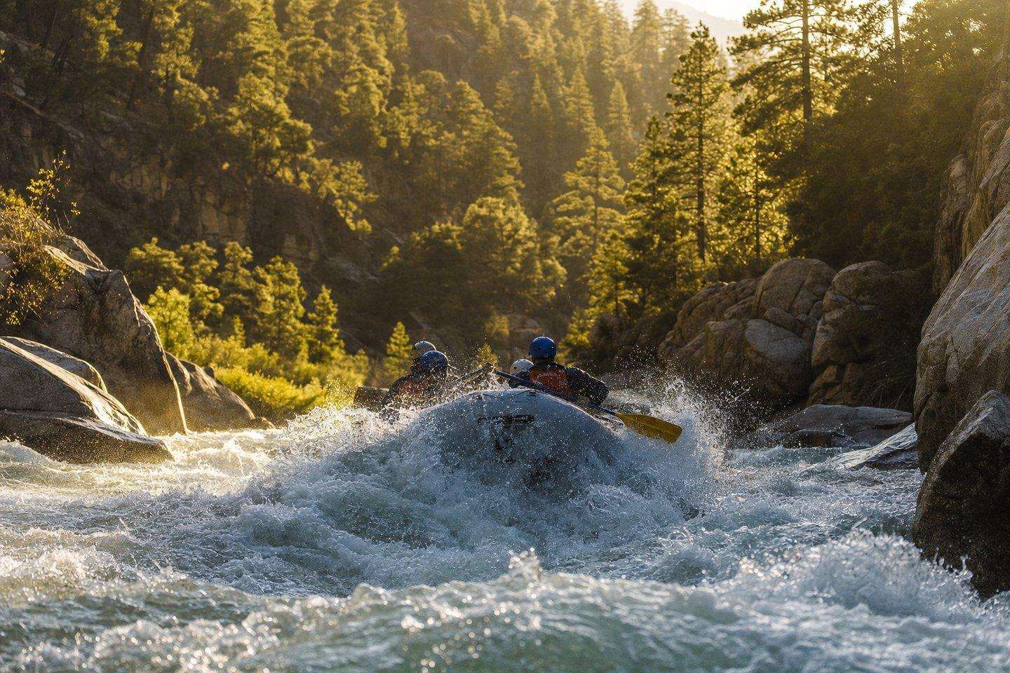
Sequoia & the Kern River
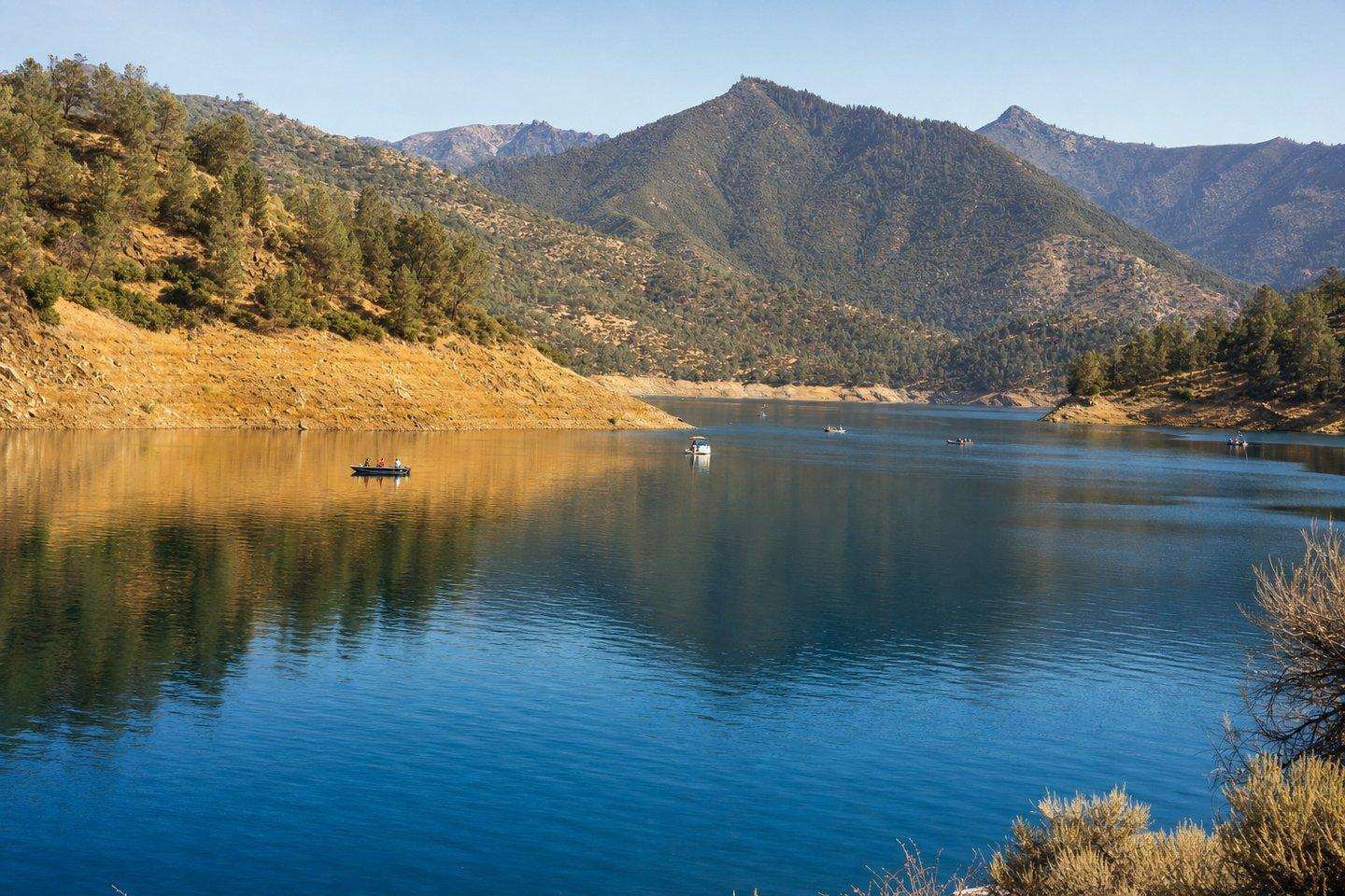
Whitewater canyons, Lake Isabella, and the Sierra Nevada foothills.
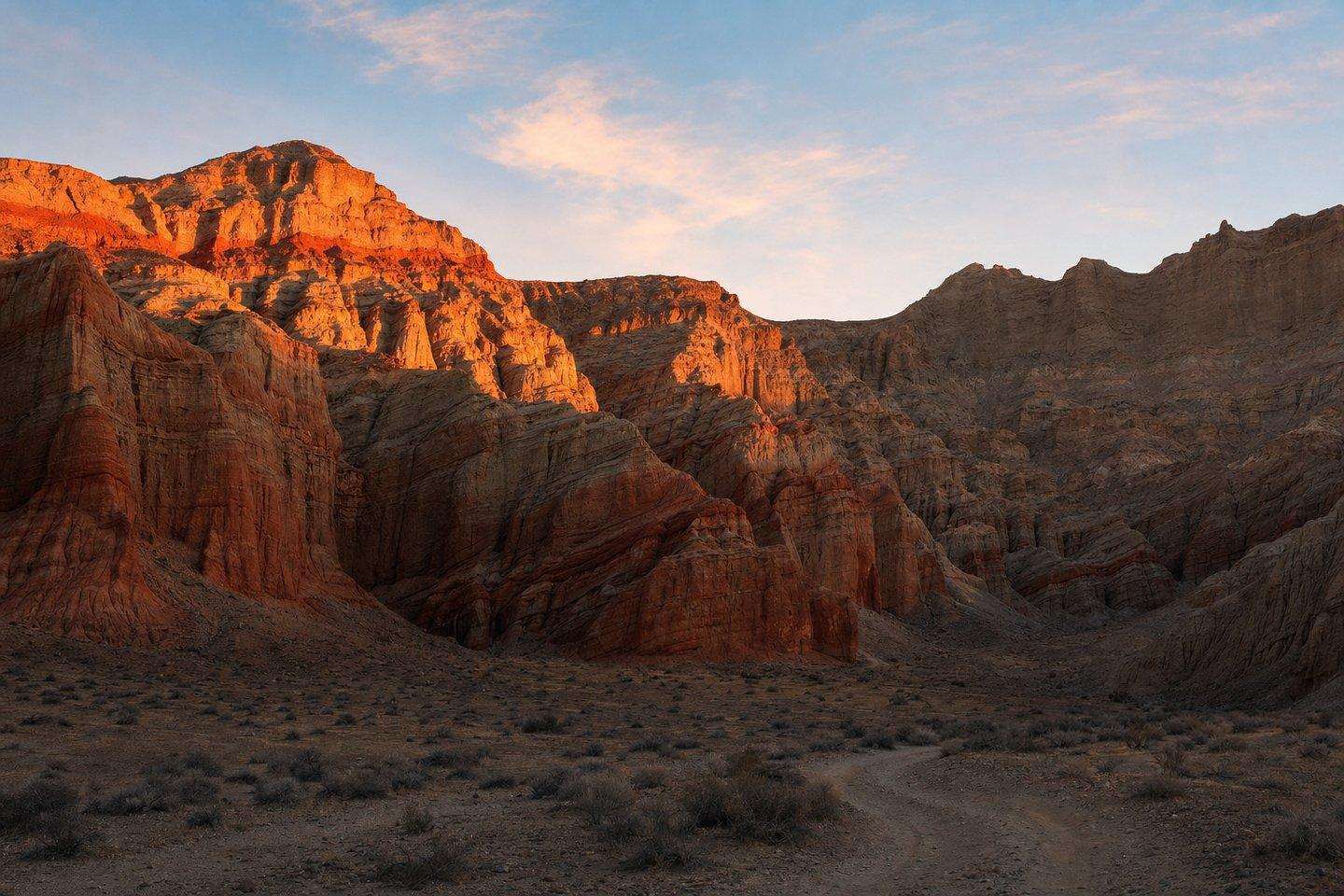
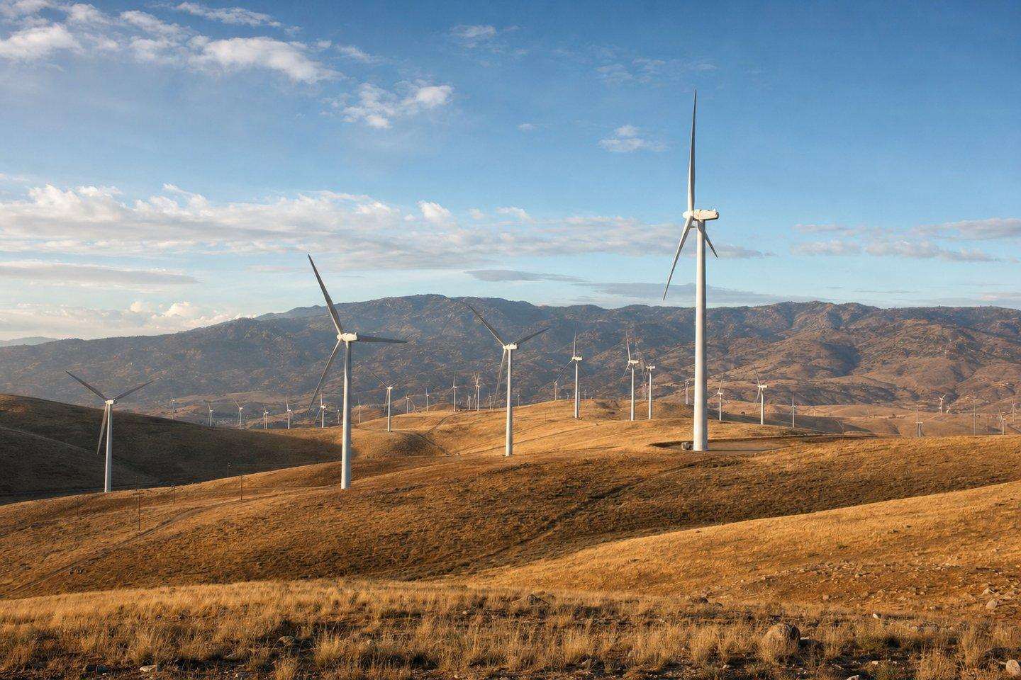
Red Rock & the Mojave
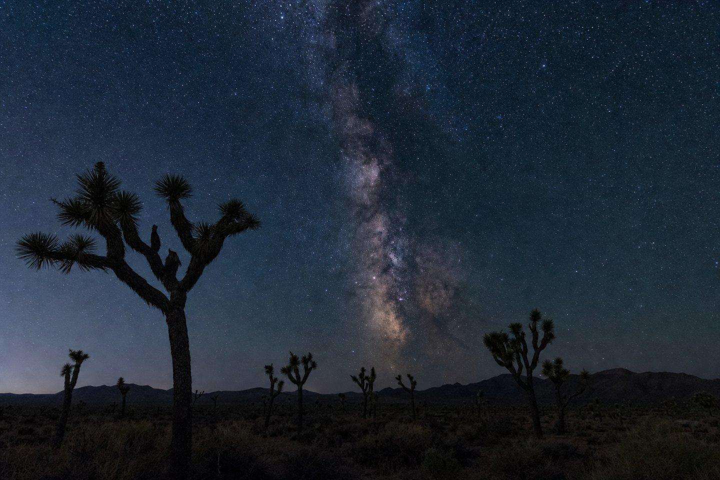
Old-Western canyon country, wind farms, and dark-sky nights.
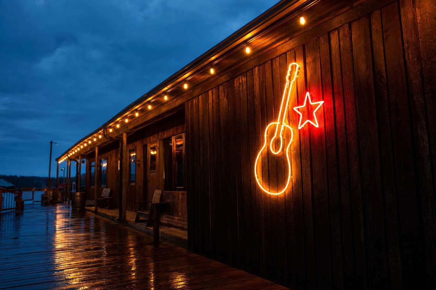
Music & Culture
The Bakersfield Sound.
In the 1950s and '60s, Bakersfield built a country-music sound of its own — a Telecaster-driven, honky-tonk answer to Nashville, led by Buck Owens and Merle Haggard. Buck Owens' Crystal Palace, the venue he built to carry that legacy forward, closed in 2025 — its future is still undecided.
Read the full history →Rivers, Bridges & Trails
The Kern River ties the whole county together.
Any Kern County travel guide worth using has to start with the river — it's the one thread connecting the mountains, the valley, and the desert.
Start here
This Kern County travel guide's four places to start
Frequently Asked Questions
What is Kern County known for?
Kern County is genuinely three different places in one: Bakersfield and the Central Valley farm towns, birthplace of the honky-tonk 'Bakersfield Sound' country-music genre led by Buck Owens and Merle Haggard; the Sierra Nevada mountains around the Wild and Scenic Kern River, Lake Isabella, and Sequoia National Forest; and the Mojave Desert side, home to Red Rock Canyon's striped cliffs and the Tehachapi Pass wind farms. It's the third-largest county in California by area.
Is visitkern.com an official government site?
No. This is an independent, editorially-run travel guide. The domain belonged to the real Kern County Board of Trade / Tourism Bureau, a quasi-governmental agency that the county Board of Supervisors voted to dissolve in January 2020. No official Kern County government tourism office currently exists — this site is not affiliated with any government agency.
How do I get around Kern County?
This is a driving destination — there's no meaningful public transit connecting the county's three regions. Highway 178 runs from Bakersfield through Kern River Canyon to Lake Isabella and Kernville; Highway 58 climbs Tehachapi Pass toward the desert towns; Highway 14 reaches Red Rock Canyon and the Mojave. See our full visitor's guide for drive times and road-condition tips.
What's the best time of year to visit?
It depends which region: the valley around Bakersfield has hot, dry summers and mild winters; the mountains run cooler year-round with winter snow at elevation; the desert swings hardest, from brutal summer heat to cold winter nights. Spring is generally the best all-around window, for wildflowers and comfortable temperatures across all three regions.
Where should a first-time visitor start?
Pick one region per trip rather than trying to cover all three — they're genuinely different landscapes and driving between them takes real time. Bakersfield and the Kern River Valley (Kernville/Lake Isabella) are the two most accessible starting points for most visitors; the desert side rewards a dedicated trip once the basics are covered.