
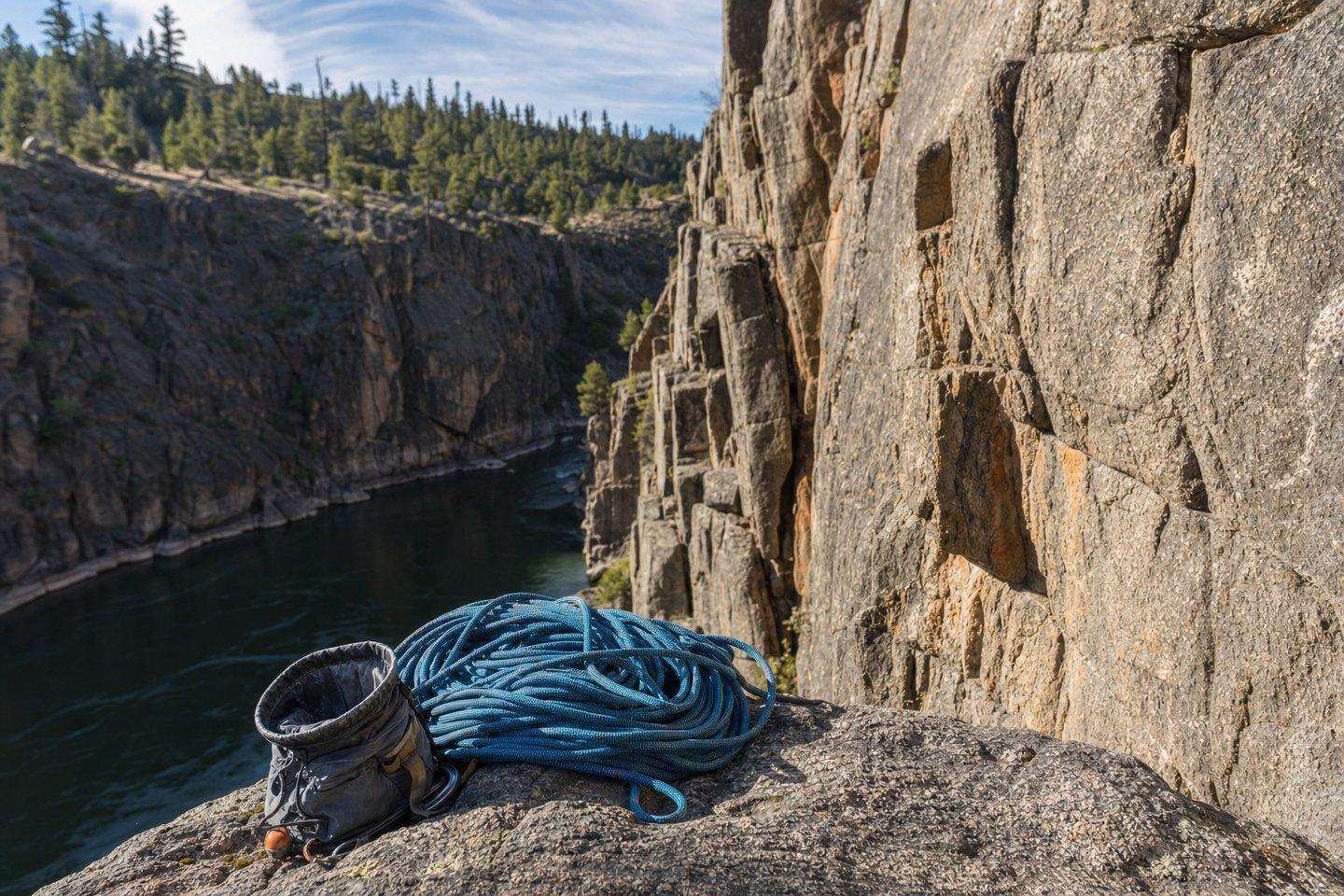
The Mountains
Rock Climbing Bakersfield Can Reach: The Lower Kern River Canyon
Kern County's real climbing scene runs along Highway 178 between Bakersfield and Lake Isabella, where granite crags and boulders line the Kern River Canyon.
Updated September 2026
Bakersfield itself sits in flat farmland, so nobody’s climbing within the city limits, but drive northeast on State Highway 178 toward Lake Isabella and the road follows the Kern River straight into a canyon lined with granite, dotted with established crags and boulders that have been climbed for decades. Real rock climbing Bakersfield residents actually drive to is here, in the Lower Kern River Canyon, not in the city itself.
Rock climbing Bakersfield: the Lower Kern River Canyon
Real rock climbing Bakersfield locals drive to runs along Highway 178 between the city and Lake Isabella, cutting through the Lower Kern River Canyon (a granite gorge that’s become the area’s default climbing destination simply because it’s close, accessible by paved road, and has real rock). Local climbers generally treat it as a collection of separate crags and boulders strung along the highway rather than one single climbing area, so a day out usually means picking a specific pull-out rather than “the canyon” as a whole.
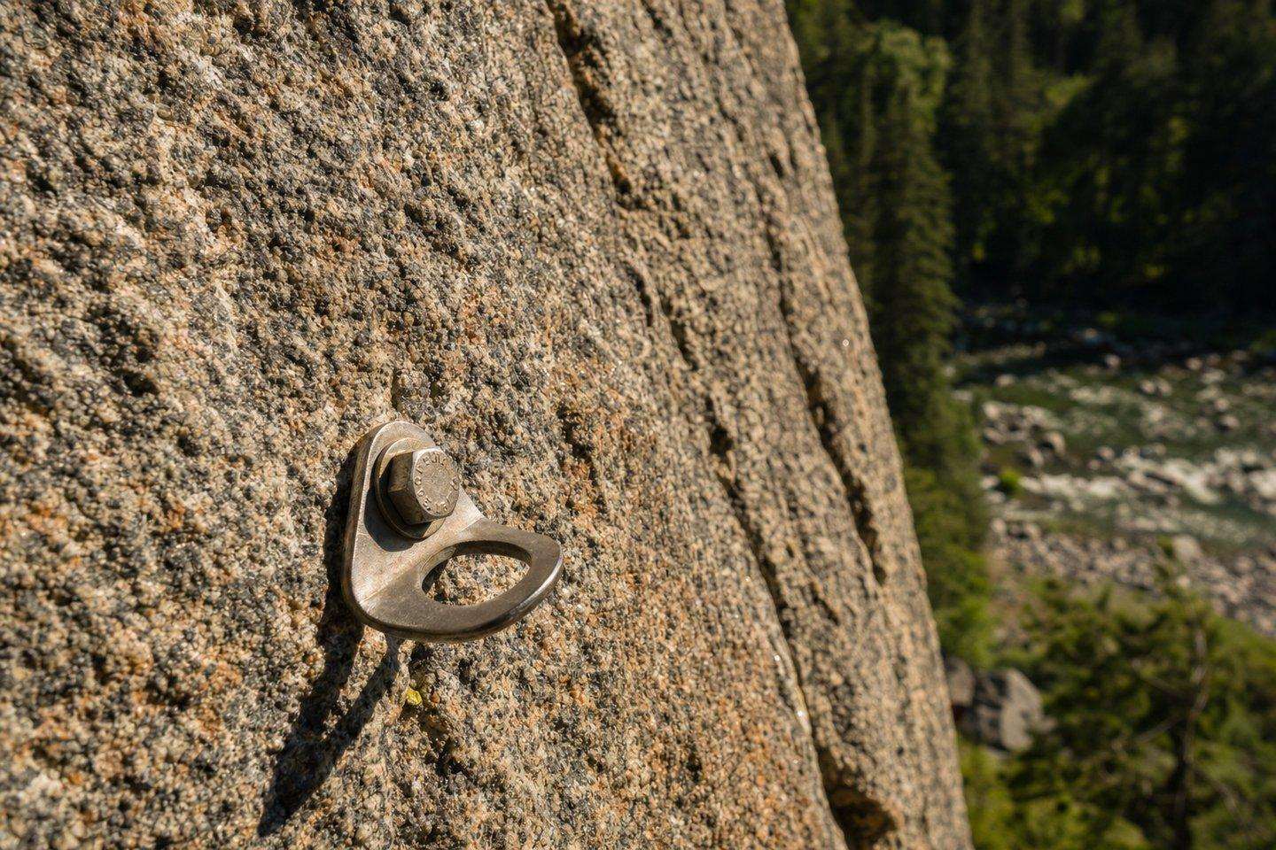
Roadside Crag
True to its name, Roadside Crag is the first established climbing area drivers reach heading east from Bakersfield on 178, a large paved pull-out on the highway’s north side, with a smaller pull-out across the road, a few miles past the memorial signage for river deaths along that stretch. Its easy pull-off-and-climb access makes it the most-visited spot in the canyon for a quick session.
Rancheria Boulder
Closer to Bakersfield, Rancheria Boulder is the nearest sizable bouldering formation to the city (a single large boulder on relatively clean granite with about a dozen problems). It sits along the Kern River near Rancheria Road, reached by driving east on Highway 178 to Rancheria Road, then about half a mile to the river, where a large parking area (shared with river rafters and swimmers) provides access; the boulder itself is roughly 200 yards upriver on the south bank.
Kern Slabs and Kernville-area climbing
Farther up the canyon near Kernville, an area known as Kern Slabs (also called Kernville Rock) offers additional granite climbing, including named walls like School House Rock and The S.S.O. This stretch is closer to Lake Isabella and Kernville than to Bakersfield, making it a natural add-on for visitors already spending a day at the lake or on the Kern River.
When to go
Fall through spring is the better window for climbing in the Lower Kern River Canyon. Once the Kern’s snowmelt runoff picks up in early summer, the river runs high and fast along the base of several crags, and the spray and humidity off the water leave stretches of rock polished and slick in ways that make routes that felt secure in cooler months noticeably harder to trust. Summer heat compounds the problem: canyon temperatures regularly climb well past what’s comfortable for sustained climbing by mid-morning, and at Kern Slabs specifically, climbers who do go out in summer generally treat 7 to 10 a.m., before the sun crests over Powers Ridge, as the only realistic window before both rock and air get too hot to work with. Outside summer, the canyon’s relatively low elevation compared to the high Sierra keeps it climbable through much of the winter on all but the coldest or wettest days, which is a large part of why locals treat it as a fall-through-spring destination with a narrow, early-morning-only summer season rather than a true year-round one.
No permit is required for day climbing itself in either the Sequoia National Forest or the BLM sections of the canyon, unlike some California climbing areas that run quota or permit systems, so the real planning consideration is timing around water levels and heat rather than paperwork. Cell coverage is unreliable through most of the canyon, so downloading route information in advance and letting someone know the day’s plan before heading out is worth the extra few minutes.
Planning a trip
For anyone searching rock climbing Bakersfield options for the first time: because the canyon’s crags are scattered along a highway corridor rather than centralized at one trailhead, it helps to have specific coordinates or a guidebook rather than just heading out and hoping to spot climbers. “Climbing and Bouldering Guide to the Lower Kern Canyon” by Mickey Dunnagan is the standard local reference and has historically been available at Action Sports, a Bakersfield outdoor-gear shop; checking current availability before a trip is worthwhile since local shop inventories change. As with anything along the Kern River corridor, summer heat in the canyon can be intense, and the river itself is dangerous in places, worth keeping in mind if a climbing day also involves time near the water.
Frequently Asked Questions
Where do people actually climb near Bakersfield?
Nowhere in the city itself. Bakersfield sits in flat farmland. The real climbing is along Highway 178 in the Lower Kern River Canyon, between Bakersfield and Lake Isabella, where granite crags and boulders line the highway.
What's the most accessible crag in the Kern River Canyon?
Roadside Crag: true to its name, it's the first established climbing area reached heading east from Bakersfield, with easy pull-off-and-climb access from a large paved pull-out.
Is there climbing near Kernville too?
Yes, farther up the canyon near Kernville, an area called Kern Slabs (also Kernville Rock) offers additional granite climbing, including named walls like School House Rock and The S.S.O.
Do I need a guidebook for Lower Kern Canyon climbing?
It helps: the crags are scattered along a highway corridor rather than centralized at one trailhead. 'Climbing and Bouldering Guide to the Lower Kern Canyon' by Mickey Dunnagan is the standard local reference.
Is climbing here dangerous?
The rock itself is standard granite climbing risk, but the Kern River corridor it runs through has a real, documented danger reputation of its own: summer heat can be intense, and the river is dangerous in places, worth keeping in mind if a climbing day also involves time near the water.