
The Mountains
Fort Tejon State Historic Park: The Army Post in the Grapevine
A US Army outpost held Grapevine Canyon from 1854 to 1864. Its restored adobes now sit in 647 acres of oak woodland, a few hundred yards off Interstate 5.
Updated November 2026
Anyone who has driven Interstate 5 between Los Angeles and Bakersfield has gone through the Grapevine. The long climb and descent through Grapevine Canyon, where the freeway threads between the San Emigdio Mountains and the Tehachapis. Most people take it at speed and think about nothing except the grade.
A few hundred yards off that road is a US Army post that held the same canyon for the same reason, 170 years ago.
Ten years, and that was all
The Army established Fort Tejon on June 24, 1854. It abandoned the post on September 11, 1864.
Ten years is a short institutional life, and it is worth holding onto that number while walking the site, because the fort’s physical scale suggests something far more permanent. This was never a frontier outpost that slowly faded. It was built, used hard for a decade, and closed.
Its purpose was threefold and worth stating plainly. Such places often attract softened language, and this one deserves better. It replaced Fort Miller to the north. It was established in connection with the Sebastian Indian Reservation, on which Indigenous people of the region had been forcibly settled. And it was positioned to control movement through the pass, which is the same reason the freeway is there now.
What survives
The park was established in 1940 and covers 647 acres: oak-wooded hillsides, grassland, wetland and riparian vegetation, with the fort’s ruins and restorations at the center.
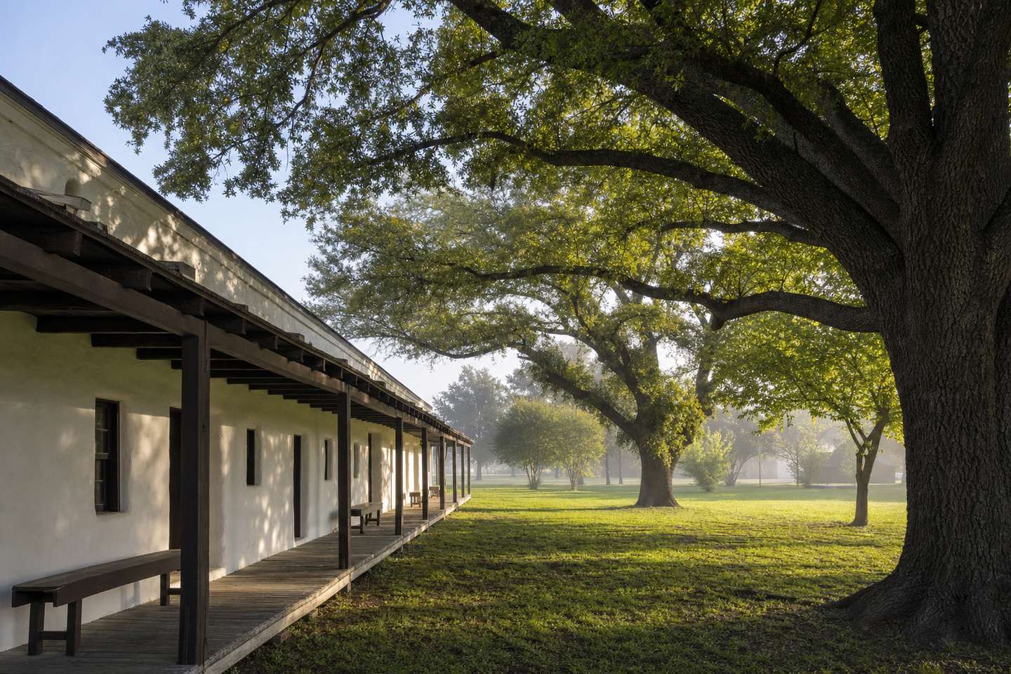
Three buildings carry the visit. The barracks, the officers’ quarters and the commanding officer’s house have been restored and reconstructed, and they are what make the site legible (adobe walls, deep porches, thick shade, rooms sized for a garrison, not a family).
Inside are exhibits on military life in the mid-nineteenth century and on the Fort Tejon Dragoons, the mounted unit stationed here. The dragoons are the part most visitors remember, partly because the living history programs are built around them.
Living history weekends
The park holds living history demonstrations on some weekends; period dress, period equipment, and the fort operating roughly as it would have.
The important word is some. These are not weekly, and the schedule moves. If the demonstration is the reason you are making the drive, confirm the date before you commit to it instead of turning up and hoping.
The oaks are half the reason to come
It would be easy to write this site up purely as a history stop, and that undersells it.
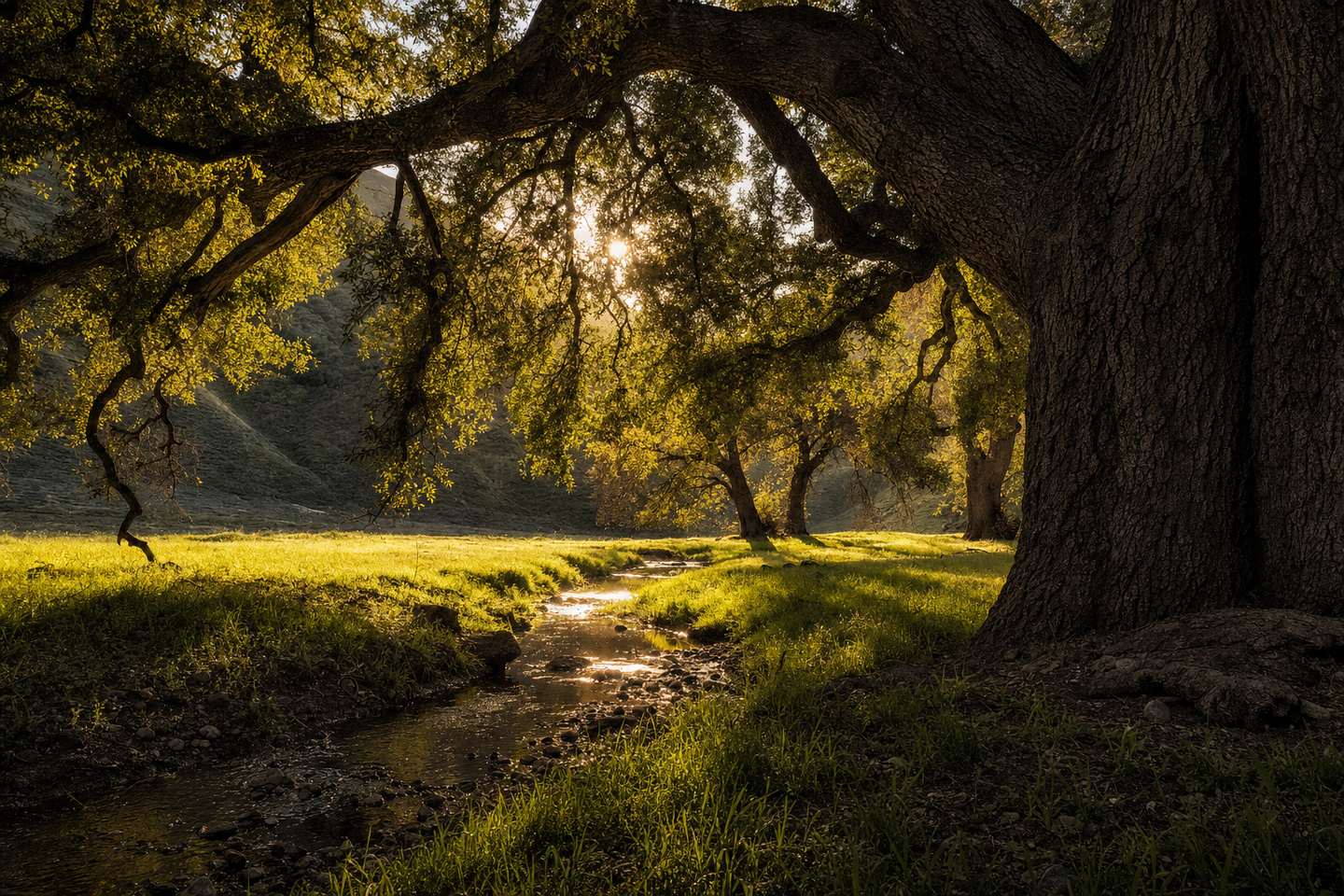
The 647 acres are genuinely pleasant ground: valley oaks, open grass, a creek, and the kind of deep shade that is scarce in this county. In spring the grass is green and the canyon is loud with birds. In summer the oaks are the only comfortable place for miles along that stretch of freeway.
There are picnic areas, and using them is arguably the best way to experience the park: an hour under the oaks with the adobes in view, rather than a brisk walk through the exhibits.
How to fit it into a trip
Fort Tejon’s great advantage is that it requires almost no detour. It sits at the top of the Grapevine, directly off I-5, which means it works for two quite different trips.
If you are driving through between Los Angeles and Bakersfield, it is a far better hour than a service station. And it is the only place on that route where the landscape explains itself.
If you are exploring Kern County, it pairs naturally with the southern mountains. Frazier Park and Pine Mountain Club are close by, and the Wind Wolves Preserve sits on the same side of the county, in the same transition zone between valley floor and mountain.
Why a fort here at all
The thing Fort Tejon explains best is not military history. It is geography.
Kern County is where the San Joaquin Valley ends and Southern California begins, and the crossing is not gradual, it is a wall of mountains with a limited number of ways through. Grapevine Canyon is the most important of them. It is why the Army put a garrison here in 1854, why the Ridge Route went through later, and why eight lanes of Interstate 5 grind up it today.
The fort is the oldest surviving argument for a fact the freeway still proves every day.
Frequently Asked Questions
Where is Fort Tejon?
In Lebec, in Grapevine Canyon between the San Emigdio and Tehachapi Mountains, near Tejon Pass on Interstate 5. It is one of the easiest historic sites in Kern County to reach — the freeway runs past the edge of it.
How long was the fort actually in use?
Ten years, and intermittently even then. The Army established it on June 24, 1854 and abandoned it on September 11, 1864. Almost everything the fort is remembered for happened inside that decade.
What can you see there now?
Restored and reconstructed adobe buildings — the barracks, the officers' quarters and the commanding officer's house — plus exhibits on mid-19th-century military life and the Fort Tejon Dragoons. The park covers 647 acres of oak-wooded hillside, grassland, wetland and riparian habitat.
Are there living history events?
Yes. Living history demonstrations are held on some weekends, with period dress and demonstrations. They are not every weekend, so check before you plan a trip around one.
Why was the fort built here?
Position. Grapevine Canyon is the main route between the San Joaquin Valley and Southern California, and whoever held it controlled movement through the pass. The Army also established it to replace Fort Miller and in connection with the Sebastian Indian Reservation, on which Indigenous people had been forcibly settled.
Is it worth stopping if I'm just driving I-5?
Yes, and that is exactly how most people should use it. It is a short detour off the freeway at the top of the Grapevine, and an hour there breaks up the Los Angeles–Bakersfield drive with something better than a fast-food stop.