
Countywide
Day Trips from Bakersfield: Mountains, Desert & Historic Kern County
From an alpine river canyon to Mojave rock formations to a gold-rush ghost town, Kern County packs a wide range of day trips within two hours of Bakersfield.
Updated September 2026
Few places let you choose between an alpine river canyon and an open desert rock formation for the same afternoon drive, but Bakersfield sits close to both. Kern County spans 8,163 square miles (the third-largest county in California by area), stretching from the San Joaquin Valley floor up into the southern Sierra Nevada and down into the Mojave Desert. That range is what makes day trips from Bakersfield genuinely varied rather than just “more of the same, farther out.”
Into the mountains: Lake Isabella and Kernville
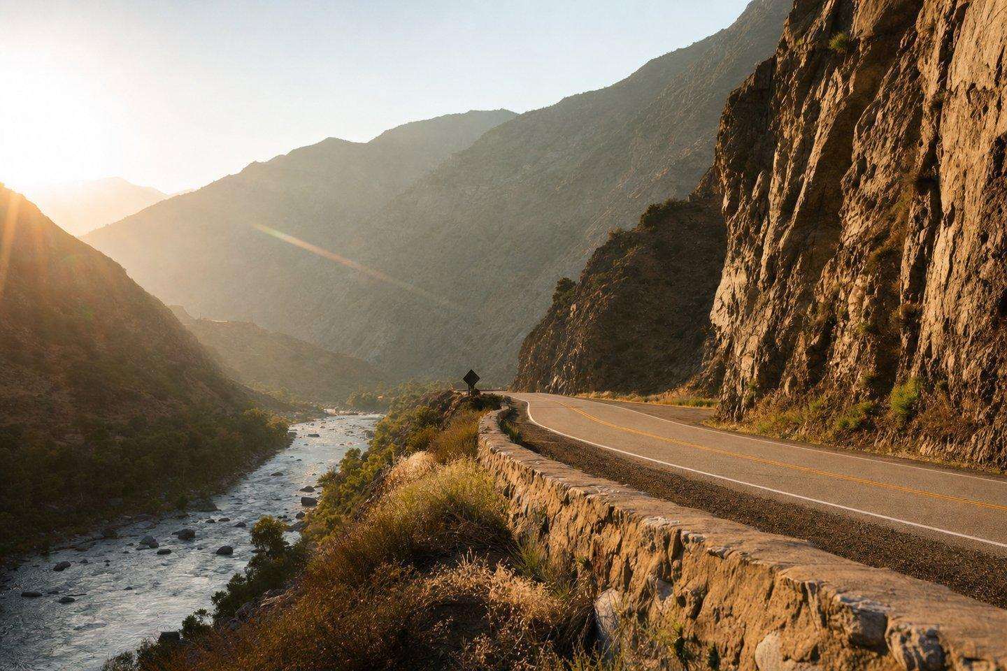
Of all the day trips from Bakersfield, the closest mountain escape is a roughly 42-mile drive northeast on Highway 178, which follows the Kern River through Kern River Canyon before opening up at Lake Isabella. The old gold-rush town of Kernville, relocated in the 1950s when the Isabella Dam was built, sits at the lake’s northeast edge and still has an Old West-style downtown of restaurants, antique shops, and motels. It’s also the base for the county’s whitewater rafting outfitters and a jumping-off point for fishing and hiking in Sequoia National Forest, covered in more detail in our Kern River recreation guide and hiking guide. Highway 178 through the canyon is a narrow, cliff-cut road with a real history of rockslide closures, so it’s worth a quick check of current road conditions before heading up.
Into the desert: Red Rock Canyon
In the opposite direction, about 80 miles east of Bakersfield via Highway 14, Red Rock Canyon State Park delivers a completely different landscape: roughly 27,000 acres of red sandstone cliffs, white clay badlands, and volcanic rock formations carved over the last 3 million years, where the Sierra Nevada meets the El Paso Mountains. Established in 1968, the park has been a filming backdrop since the 1930s and, more recently, has become known for some of the darkest night skies within two hours of Los Angeles. Its Ricardo Campground offers primitive first-come, first-served sites for anyone wanting to turn the trip into an overnight (see our camping guide for details).
Tehachapi: where the valley meets the desert
About 35 miles east-southeast of Bakersfield, Tehachapi sits in its own mountain pass at nearly 4,000 feet, a town of apple orchards, gliding, and one of the country’s largest wind-turbine installations, strung across the ridgelines visible for miles along Highway 58. Just outside town, the Tehachapi Loop is a still-active railroad spiral where trains gain elevation by literally crossing back over themselves; a viewing platform on Woodford-Tehachapi Road, built in 2021, lets visitors watch BNSF and Union Pacific freight trains navigate it in real time. The rebuilt 1876-style depot downtown houses a small railroad museum (see our museums guide).
Kern County’s mining-era towns
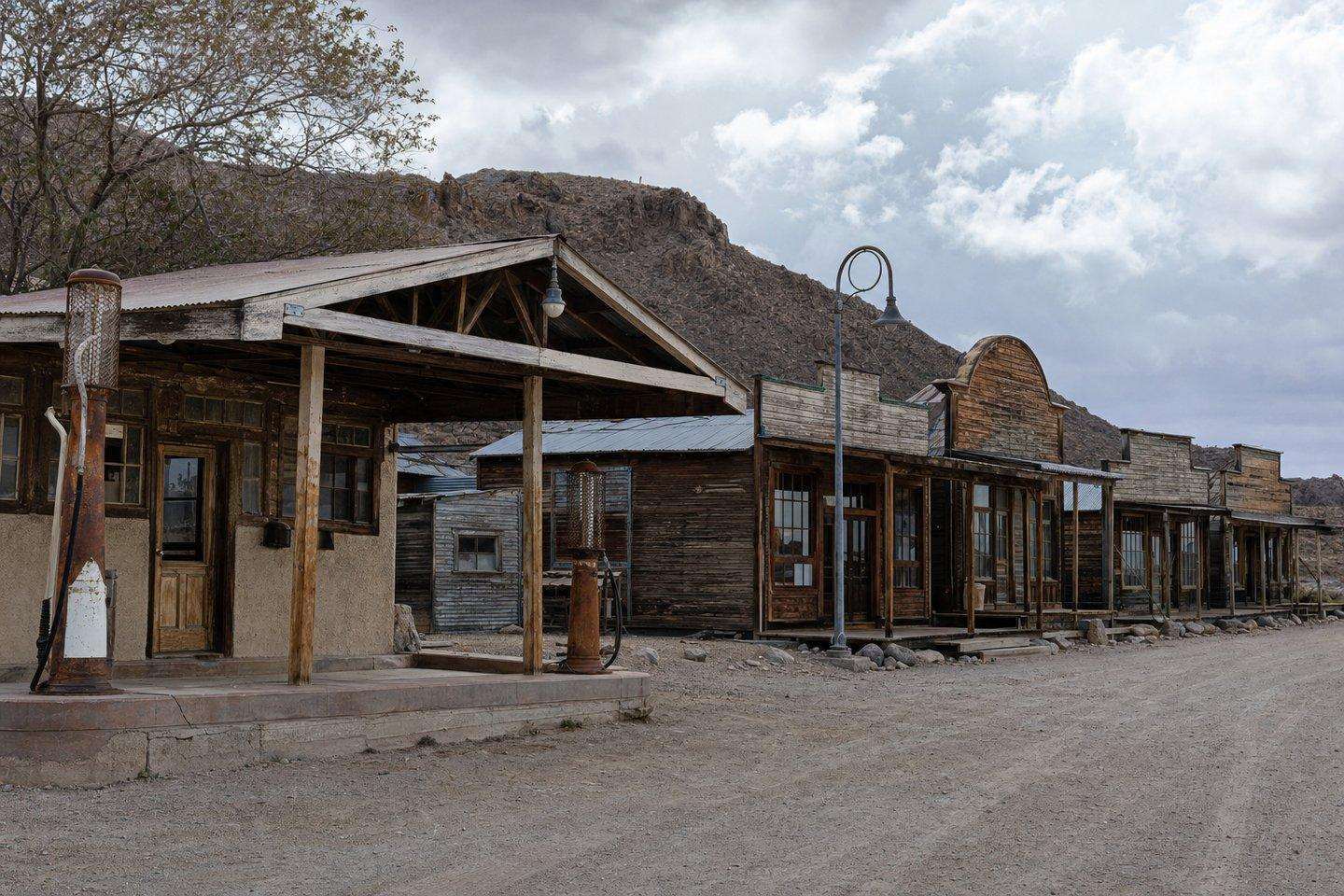
Further into the desert, Randsburg (about 17 miles south of Ridgecrest off Highway 395) is a genuinely still-inhabited former gold-mining boomtown, though a small one: the 2020 census counted just 45 residents. Its shops mostly open on weekends, and the Rand Desert Museum keeps limited weekend hours, so it’s worth planning a Saturday or Sunday trip if Randsburg is the goal. Our Randsburg deep-dive covers its 1895 gold strike and boomtown history in more depth.
Worth noting honestly: the older mining town of Havilah, Kern County’s original county seat before the government moved to Bakersfield in 1872, has lost most of what little remained of it. A 1920s fire had already destroyed much of the original settlement, and the July 2024 Borel Fire burned through the rest, including a reconstructed courthouse building. Today it’s mainly a cemetery and a stretch of road lined with markers showing where buildings used to stand, a historical footnote rather than a day-trip destination in its own right. Our full Havilah history has the details.
Planning day trips from Bakersfield
Because these destinations pull in three different directions from Bakersfield, most day trips from Bakersfield work best as one region at a time rather than trying to combine mountain and desert stops in a single loop. Whichever direction you’re headed, check road conditions first. Highway 178’s canyon route and Highway 58’s mountain pass are both real terrain, not just open highway, and conditions can shift faster than a general weather forecast suggests.
Frequently Asked Questions
What are the best day trips from Bakersfield?
Three main directions: into the mountains toward Lake Isabella and Kernville, into the desert toward Red Rock Canyon, or up to Tehachapi where the valley meets the desert. Kern County's mining-era towns (like Randsburg) make a fourth option for history-focused trips.
How far is Lake Isabella from Bakersfield?
About a 42-mile drive northeast on Highway 178, which follows the Kern River through Kern River Canyon before opening up at the lake.
Can I see Red Rock Canyon in a day trip from Bakersfield?
Yes, it's a well-established day-trip destination in the desert direction, though it's a longer drive than the mountain option, so plan for a fuller day.
What historic mining towns can I visit near Bakersfield?
Randsburg is the standout: a still-inhabited former gold-mining boomtown with real historic structures and the small Rand Desert Museum. Havilah, the former county seat, is largely gone after fires and the 2024 Borel Fire, so it's a historical footnote rather than a visitable stop today.
Should I check road conditions before a Kern County day trip?
Yes, Highway 178 through the canyon has a real history of rockslide closures, so checking current conditions before heading up to the mountains is genuinely worthwhile, not just boilerplate advice.