
Countywide
Parks in Bakersfield and Across Kern County: A Countywide Overview
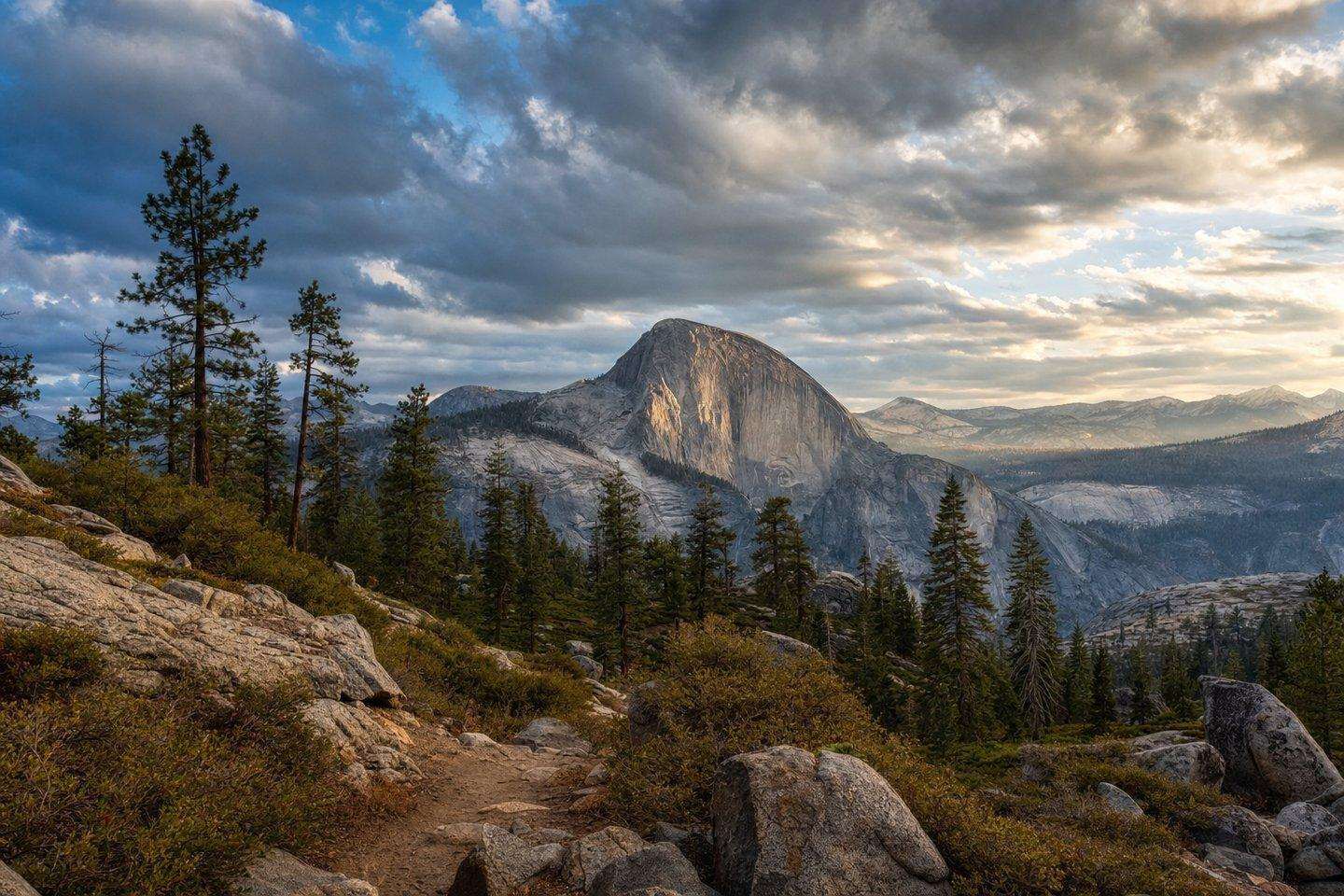
Kern County spans desert badlands, a wild river canyon, and the southern Sierra Nevada, protected across Red Rock Canyon, Sequoia Forest, and wilderness areas.
Updated September 2026
Parks in Bakersfield and across the rest of Kern County span just how large the county is (over 8,000 square miles) and its protected public lands reflect just how much geography that covers: true Mojave Desert in the east, the southern tip of the Sierra Nevada in the northeast, and the Kern River corridor cutting through the mountains in between. There’s no single “Kern County National Park,” but several real state and federal land units fall inside or along the county’s borders, each covering a different part of that range.
Red Rock Canyon State Park
In the northern Mojave Desert, about 25 miles north of Mojave along State Highway 14, Red Rock Canyon State Park protects roughly 27,000 acres of eroded desert cliffs, buttes, and rock formations in red sandstone, white clay, and dark volcanic rock. The canyon formed through geologic uplift and erosion over the past few million years, and the Kawaiisu and Coso peoples left petroglyphs and pictographs in the surrounding El Paso Mountains. The park offers camping, picnic areas, hiking, and horseback riding, with no motorist services inside. It also has a long, well-documented history as a Hollywood filming location, covered in detail on our movies page.
Sequoia National Forest and the Kern River Ranger District
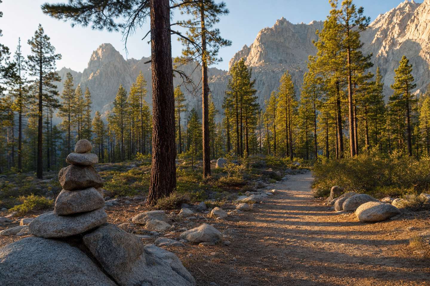
Sequoia National Forest spans Tulare, Kern, and Fresno counties across the southern Sierra Nevada, and its Kern River Ranger District (headquartered in the Kern County towns of Kernville and Lake Isabella) covers the forest’s reach into the county. This is mountain and canyon country rather than desert: the Kern River corridor, Lake Isabella’s surrounding forest land, and high-elevation terrain toward the Kern Plateau. It’s a different landscape entirely from Red Rock Canyon, and it’s the part of the county where whitewater rafting, mountain fishing, and forest camping are concentrated (see our Kern River rafting guide if you’re headed that way).
Domeland Wilderness
Straddling the Kern–Tulare county line within Sequoia National Forest, the 130,081-acre Domeland Wilderness is known for the granite domes and spires that give it its name, including Church Dome, along with the Wild and Scenic-designated South Fork Kern River running through it. Elevations range from roughly 2,800 to nearly 10,000 feet, and the Pacific Crest Trail crosses a stretch of it. It’s remote, minimally developed backcountry (hiking, backpacking, fishing, and rock climbing, jointly managed by the Forest Service and the Bureau of Land Management), better suited to experienced backcountry travelers than a casual day trip.
Parks in Bakersfield’s reach: how the pieces fit together
For parks in Bakersfield’s reach, what ties them together isn’t a shared visitor experience (Red Rock Canyon’s desert badlands and Domeland’s granite high country have almost nothing in common on the ground) but the fact that they’re all inside the same county, a reminder of how much elevation and climate change Kern County covers between its desert floor and its mountain crest. A visitor planning a trip around public lands should pick a region rather than try to combine them: the desert parks (Red Rock Canyon, and the petroglyph sites covered on our petroglyph page) cluster in the northeast desert, while the forest and wilderness areas cluster around Lake Isabella and the Kern River to the north.
Planning ahead
Because these parks in Bakersfield’s orbit are spread across very different parts of a large county, check road conditions and seasonal access before visiting, since mountain routes into Sequoia National Forest and Domeland Wilderness can close or become difficult in winter snow, while desert routes to Red Rock Canyon carry the opposite risk in summer heat. Kern County’s own road conditions guide is a useful check before any of these trips.
Frequently Asked Questions
Does Kern County have a national park?
No single 'Kern County National Park' exists, but several real state and federal land units fall inside or along the county's borders: Red Rock Canyon State Park, the Kern River Ranger District of Sequoia National Forest, and Domeland Wilderness.
What's the biggest protected area in Kern County?
Domeland Wilderness, straddling the Kern–Tulare county line, covers 130,081 acres of granite domes and spires within Sequoia National Forest, jointly managed by the Forest Service and BLM.
Is Red Rock Canyon a national or state park?
It's a California state park: about 27,000 acres of eroded desert cliffs, buttes, and rock formations in the northern Mojave Desert, roughly 25 miles north of Mojave.
Which part of Sequoia National Forest is in Kern County?
The Kern River Ranger District, headquartered in Kernville and Lake Isabella, covers the forest's reach into the county: mountain and canyon country including the Kern River corridor and high-elevation terrain toward the Kern Plateau.
Can I combine a visit to multiple parks in one trip?
Not easily in one day: Red Rock Canyon's desert badlands and Domeland's granite high country have almost nothing in common on the ground and sit in different parts of a very large county. Pick a region (desert or mountains) rather than trying to combine them.